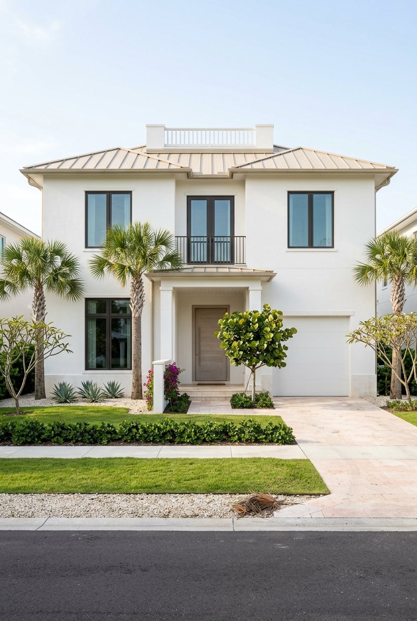
Are you planning a new dock in Harbor Acres or evaluating a bayfront purchase and wondering where your rights begin and end? Waterfront property brings unique privileges and responsibilities, especially where private lots meet public waters. Understanding riparian rights helps you protect your access, plan improvements, and avoid costly missteps. In this guide, you’ll learn what riparian rights mean for Harbor Acres owners, how mean high water affects your boundary, and the permits you will likely need. Let’s dive in.
Riparian rights basics
What you own and control
If your property borders Sarasota Bay or a canal, you hold riparian rights because you are an upland owner next to navigable water. In Florida, the State generally owns the submerged lands seaward of the mean high water line under public trust principles, and it manages those areas through authorizations and leases. For state oversight of submerged lands, start with the Florida Department of Environmental Protection’s guidance on sovereignty submerged lands and coastal permitting at the Florida DEP Lands site. For statutory background on public lands and beaches, review the Florida Statutes, including Chapter 253.
Your upland parcel typically extends to the mean high water line. Seaward of that line, the State manages use and access. Any work in or over state waters usually requires authorization even when the structure serves a private home.
Typical rights and limits
Your riparian rights generally include reasonable access to the water and the ability to request permits for docks, piers, and similar structures. You may also encounter issues related to accretion or reliction where natural processes change the shoreline over time. These rights are not absolute. They are limited by state ownership of submerged lands, environmental protections, navigation interests, local ordinances, recorded easements, and the reasonable use doctrine that prevents you from unreasonably interfering with neighbors’ access or navigation.
Harbor Acres lot scenarios
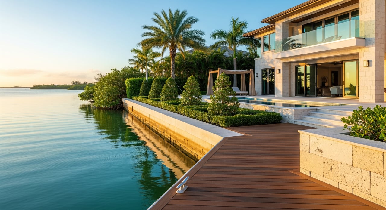
Bayfront lot with seawall
[Bay water]
-----------------  <- State sovereign submerged lands (seaward of MHW)
~~~~~ MHW ~~~~~
-----------------
|  Seawall (on/near property line) |
|  Upland property parcel           |
|  House / landscape                |
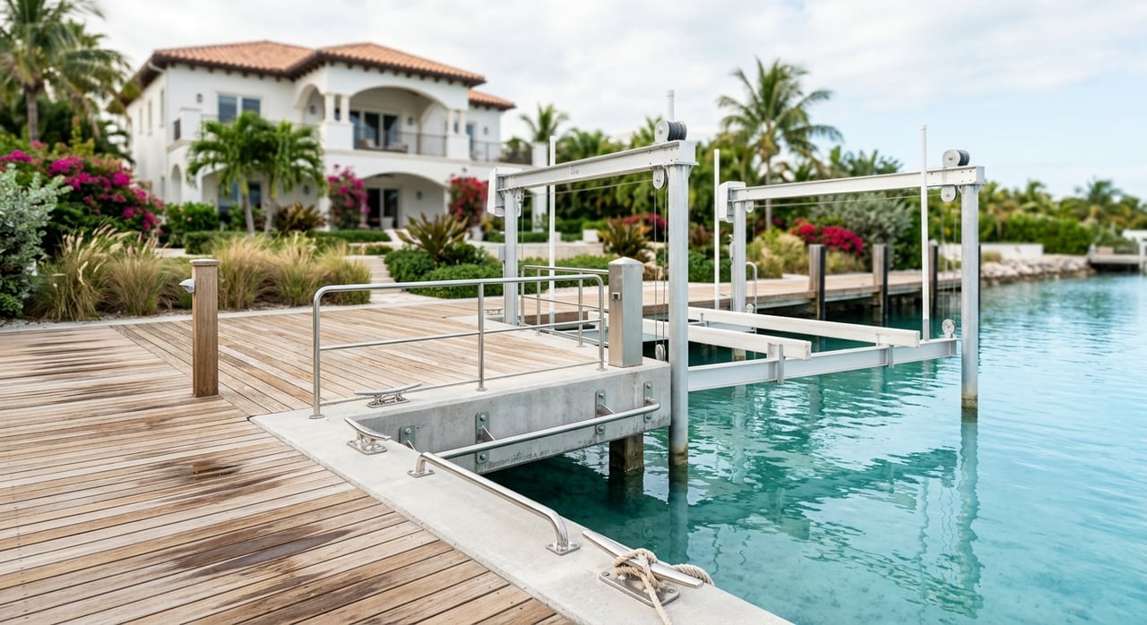
On many bayfront lots, the property boundary ends at the mean high water line. You typically have the privilege to seek permits for a private dock and to maintain or replace a seawall. Expect local building permits and coastal approvals, Florida DEP authorization for any work seaward of mean high water, and possible federal authorization. If you enlarge a seawall or expand a dock, permit conditions may address construction methods, seagrass impacts, and orientation for safe navigation.
Canal-front lot
[Canal water]
-----------------
| Bulkhead |
| Upland lot |
| House     |
Canals can be public or private, and maintenance responsibilities vary by recorded plats or local districts. You usually can place a reasonable dock within the canal, but local rules often limit dock length, boat size, and spacing to preserve navigation and neighbors’ access. Private dredging is commonly restricted and almost always requires permits.
Near channels and neighbors
Neighbor A  |  You  |  Neighbor B
[Docks A]   [Your dock]   [Docks B]
---------------- water ----------------
Your dock must avoid unreasonable interference with neighbors or channel navigation. Permit conditions may include side setbacks from property lines and orientation requirements. When planning a larger dock or boatlift, consider potential effects on seagrass, neighbor access, and view corridors, as these issues often surface during review.
Mean high water and surveys
Mean high water sets the typical upland boundary along tidal waters. To understand your true edge, order a current boundary survey that depicts the mean high water line and the location of any seawall. If a seawall sits seaward of mean high water, you may need to confirm whether it is under a lease or prior authorization. For tide data and mean high water references, use NOAA Tides and Currents.
A survey, legal description, and permit history together clarify where you can lawfully build and what approvals you need. A maritime surveyor can help with precise mean high water determinations.
Permits and agencies
Most shoreline work requires approvals from multiple authorities. Common triggers include new docks or boatlifts, larger replacement docks, pile installation, seawall repair or replacement, dredging, fill placement, and mangrove trimming or removal.
- Local building and coastal approvals: Check development services and building codes with Sarasota County or the City of Sarasota, depending on jurisdiction.
- State authorization: The Florida DEP oversees activities on sovereignty submerged lands and environmental permitting. Start with the Florida DEP Lands portal.
- Federal authorization: The U.S. Army Corps of Engineers regulates structures in navigable waters and discharges of dredged or fill material. Review the USACE Regulatory Program.
- Environmental considerations: Seagrass, mangroves, and wetland protections can influence the type, size, and placement of structures. For boating and aquatic resources context, consult the Florida Fish and Wildlife Conservation Commission.
Plan for a multi-month timeline. Early pre-application meetings with local staff and, as needed, FDEP and USACE can streamline reviews and clarify design options.
Buyer and owner checklist
Before you buy or start improvements in Harbor Acres, confirm the groundwork:
- Survey and boundary: Obtain a recent survey with the mean high water line and note where any seawall sits relative to it.
- Recorded documents: Review the deed, plat, covenants, HOA rules, and any easements that may affect dock placement, view corridors, or maintenance obligations.
- Permit history: Request original dock and seawall permits and as-builts. Missing records can complicate future work.
- Canal status: Verify who maintains the canal, whether dredging has occurred, and any navigational restrictions or no-wake zones.
- Environmental review: Identify seagrass or mangroves that may limit design or require mitigation.
- Flood and coastal data: Confirm flood zone and elevation requirements through Sarasota County.
- Property records: Cross-check parcel data and legal descriptions with the Sarasota County Property Appraiser.
Planning improvements
- Start with goals and constraints: Define vessel size, draft, and lift needs. Note nearby channels and neighbors’ docks.
- Consult early: Speak with permitting staff and consider a coastal engineer for dock and seawall design, a maritime surveyor for mean high water, and an environmental consultant for seagrass or mangroves.
- Design for reasonable use: Respect side setbacks and navigation to minimize disputes and align with the reasonable use doctrine.
- Expect conditions: Construction methods, seasonal windows, mitigation, and monitoring may be required.
When you want a clear path from concept to permit, local experts make a measurable difference.
Ready to evaluate a Harbor Acres waterfront or plan smart improvements with confidence? For tailored guidance and introductions to trusted surveyors, engineers, and permitting specialists, connect with Debra Lichter for a private consultation.
FAQs
What do riparian rights mean for Harbor Acres owners?
- They are your upland-owner privileges for water access and structures, limited by state ownership of submerged lands, environmental rules, navigation, and local codes.
Who owns the water and bottom in Sarasota Bay?
- The State of Florida generally owns submerged lands seaward of mean high water, while you hold riparian rights subject to that public trust.
Do I need permits for a dock or boatlift in Harbor Acres?
- Usually yes; expect local approvals plus state and often federal authorization, especially for work seaward of mean high water.
Can I protect or guarantee my waterfront view?
- Florida law generally does not grant a private right to an unobstructed view unless protected by a recorded easement, covenant, or applicable ordinance.
How does mean high water affect my property boundary?
- Your upland boundary typically runs to the mean high water line; state-managed submerged lands lie seaward, affecting where and how you can build.
Can I remove mangroves to improve access or views?
- Mangrove work is tightly regulated and often requires permits and mitigation; consult regulators before any trimming or removal.