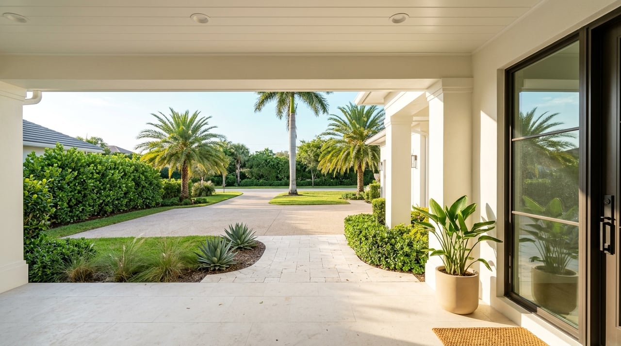
Shopping for a Longboat Key home with your boat in mind? A few extra inches of depth or a bridge you cannot clear can change everything about your daily routine on the water. You want confident Gulf access, not guesswork. In this guide, you’ll learn where deeper water is typically found around Longboat Key, what to check for bridge clearances, practical marina alternatives for larger drafts, and a step-by-step way to preview properties by water. Let’s dive in.
Deep-water basics on Longboat Key
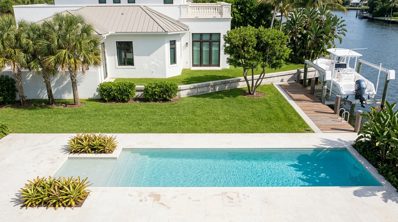
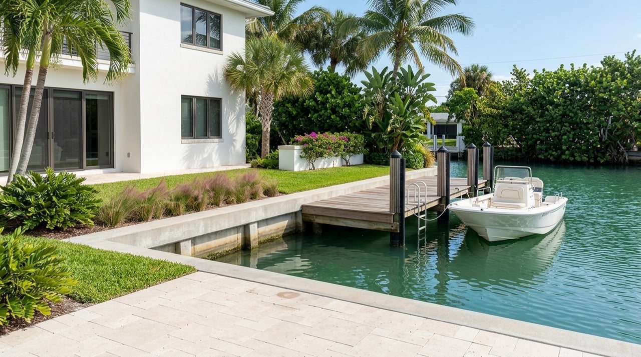
Longboat Key is a barrier island with the Gulf on the west and bay and Intracoastal waters on the east. The deepest, most reliable water is usually in the marked main channels and near maintained inlets that connect the bays to the Gulf. By comparison, many residential canals were designed for smaller boats and can be shallow, especially at lower tides.
Two quick realities to keep in mind:
- The area is microtidal, but the tide still matters. A foot of water can be the difference between an easy day and a prop touching bottom. Check local tide predictions through NOAA Tides and Currents and time your scouting accordingly.
- Local conditions change. Shoaling can shift after storms or seasonally. Treat any single depth report as time-sensitive and verify before you rely on it.
Most promising locations
If you need deeper water for a larger draft, focus your search on:
- Properties with frontage on the main bay channels or the Intracoastal side. These marked routes typically hold deeper water than smaller canals.
- Homes and marinas close to the island’s passes and inlets, including the approaches around the north end near Longboat Pass. Shorter transits to the Gulf often coincide with better-maintained depths.
- Bayfront stretches that sit directly along a marked channel, where buoys and daymarks indicate dredged routes used by regular traffic.
Canals to verify carefully
Many mid-island and interior residential canals are narrow and vary widely in depth, often suitable for small to medium recreational craft. Conditions can differ lot to lot. When in doubt, plan a sounding at a favorable tide, look for large-vessel pilings and slip infrastructure, and confirm dredging history with the owner or HOA.
Bridge clearance and openings
If your boat’s air-draft is significant, vertical clearance can decide your route from the bay to the Gulf. Some crossings are fixed bridges, while others are movable and open on a schedule or by request.
Follow these steps to avoid surprises:
- Identify every bridge on your intended route using the NOAA Nautical Chart Viewer. Note the marked channels and any bridge symbols.
- Confirm vertical clearances and bridge types through Florida’s bridge inventory resources managed by the Florida Department of Transportation. If you prefer an additional reference, the National Bridge Inventory is another source for bridge data.
- Check for temporary restrictions and schedules in the U.S. Coast Guard Local Notice to Mariners.
- Measure your boat’s air-draft, including antennas and radar, and add a safety margin. Match that number against the lowest expected clearance at mean high water.
The takeaway: do not assume clearances. Verify each structure for your specific route and vessel height.
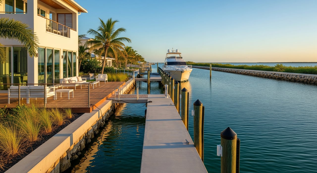
Marina and slip alternatives for larger drafts
Deep-water private slips do exist on Longboat Key, but inventory is limited and depths vary by canal, HOA, and maintenance history. For larger vessels, full-service marinas on the mainland in Sarasota or Bradenton can provide more depth, fuel, haulout, and professional service while keeping you within a quick run to the island.
When evaluating marinas, confirm:
- Depth at mean low water at the slip and along the approach channel.
- Slip length and beam, plus availability of transient or long-term deep-water slips.
- On-site services that matter to you, like diesel, haulout capacity, and secure storage.
- Transit time to the Gulf and whether any bridge openings or shallow stretches are required.
To research options and current user reports, review listings and recent boater feedback on Dockwa and ActiveCaptain. Always call the dockmaster to verify today’s depth at low water and recent shoaling conditions before you commit.
How to preview properties by water
A little planning goes a long way when you want to assess true usability for your boat.
Pre-visit preparation
- Gather authoritative navigation data: consult the NOAA Nautical Chart Viewer, local tide predictions via NOAA Tides and Currents, U.S. Army Corps maintained channel information for the region from the USACE Jacksonville District, and FDOT bridge resources at the Structures Office.
- Know your boat’s numbers: length, beam, maximum draft, and air-draft. Keep them handy for marinas and route planning.
- Time your scouting with helpful tides. Exploring marginal canals at or near high tide shows you the best-case scenario.
On-water inspection checklist
- Approach routes. Follow marked channels and avoid tempting shortcuts across flats or shoals.
- Measure and observe depth. Use a sounder and note readings, especially near low tide. If you are previewing without your boat, consider hiring a local captain or surveyor who can take soundings.
- Seawall and dock condition. Look for scouring, exposed riprap, and waterline staining that hints at typical high and low water marks.
- Traffic and wakes. Observe how passing traffic affects the dock. Wakes, crosswinds, and narrow fairways matter for docking larger boats.
- HOA and canal stewardship. Confirm who pays for dredging, what’s been done, and whether there are rules on boat size or lift installations.
- Service logistics. Identify where you will haul, fuel, and get engine work done if needed.
Questions to ask sellers, HOAs, and marinas
- What is the maintained depth at the seawall and along the approach channel, and when was it last measured?
- When was the canal last dredged, and who funds ongoing maintenance?
- Are there known shoaling spots or hazards between the property and the Gulf?
- Which bridges affect this route, and are there opening schedules or restrictions to know?
- Are there boat length or slip-size limits in the community, and what is the hurricane plan for larger vessels?
Trusted sources to confirm specifics
Use these authoritative resources to validate details before you make a purchase decision:
- Charted depths, marks, and bridge symbols: NOAA Nautical Chart Viewer
- Local tide predictions for Sarasota Bay and nearby stations: NOAA Tides and Currents
- Maintained channels and dredging info: USACE Jacksonville District Navigation
- Bridge types and clearances: FDOT Structures Office
- Temporary hazards and bridge notices: U.S. Coast Guard Local Notice to Mariners
- Local dock regulations and town projects: Town of Longboat Key
Always reconcile differences between sources by prioritizing a fresh on-site sounding or professional marine survey when the boat’s size or draft makes access tight.
Putting it together for your search
If deep water is a top priority, aim for properties on or near the marked main bay channels and close to the island’s pass approaches. Be thoughtful with interior canals, since depth can change over short distances and with the tide. Confirm bridge clearances for your full air-draft and keep a weather eye on temporary notices before every run. If your draft or service needs outgrow a private slip, nearby full-service marinas can deliver depth, convenience, and peace of mind while you enjoy Longboat Key living.
When you want a seasoned, hands-on advocate to help you align the right home with the right water access, connect with Debra Lichter for a private consultation tailored to your boat, your lifestyle, and your goals.
FAQs
Where is deep water most reliable on Longboat Key?
- You will usually find the most reliable depth in the marked main bay channels and near the island’s pass approaches, including the area around Longboat Pass at the north end.
How much do tides affect canal depth on Longboat Key?
- The area is microtidal, but a change of about a foot can still matter in shallow canals, so plan scouting and transits using local predictions from NOAA Tides and Currents.
How should I verify bridge clearances before a run to the Gulf?
- Identify bridges on NOAA charts, confirm clearances in FDOT bridge resources, check the Coast Guard Local Notice to Mariners for restrictions, and compare against your boat’s measured air-draft with a safety margin.
What should I check if I plan to buy on an interior canal?
- Confirm maintained depth at the seawall and along the approach, review dredging history and who funds it, and look for seawall condition clues and large-vessel dock infrastructure.
If my boat has a larger draft, should I consider a marina instead of a private dock?
- Yes, full-service marinas in Sarasota or Bradenton can offer deeper slips, fuel, and haulout that may be more practical for larger drafts than some island canals.
How can I stage a property tour by boat if I am visiting from out of town?
- Book a transient slip through a platform like Dockwa, review ActiveCaptain reports, and plan routes using NOAA charts and tide predictions so you can explore at favorable water levels.